- BIST10011,220-3.08%
- USD49.60+0.05%
- EUR55.68+0.11%
- GOLD4,038.00-2.70%
- INTEREST36.00%-1.00
- BITCOIN81,341-3.19%
- October 22, 202617°
- BIST10011,220-3.08%
- USD49.60+0.05%
- EUR55.68+0.11%
- GOLD4,038.00-2.70%
- INTEREST36.00%-1.00
- BITCOIN81,341-3.19%
- October 22, 202617°
Magnitude 7.0 earthquake rocks the Tibetan Plateau: What we know
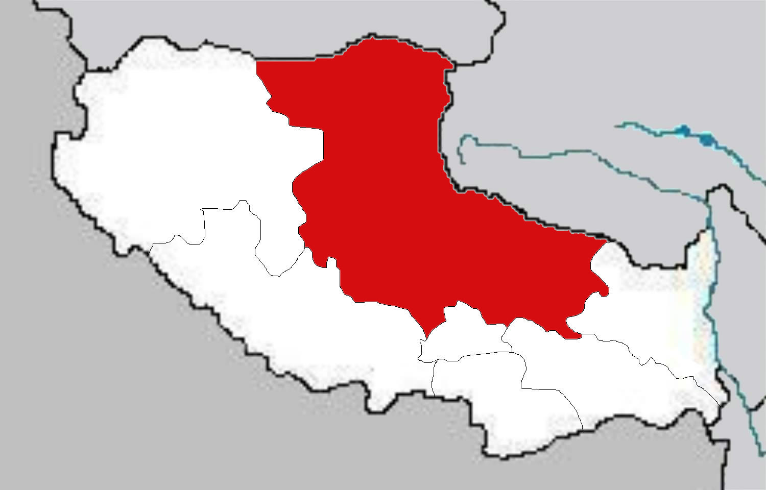
A magnitude 7.0 earthquake struck Nagqu in northern Tibet late on Thursday, followed about 40 minutes later by a magnitude 5.2 aftershock. There are no reports of casualties so far.
RuskiGazeta Editorial DeskUpdated:
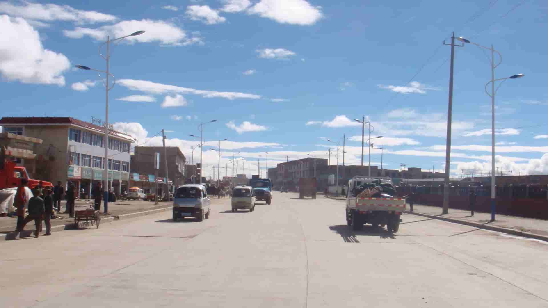
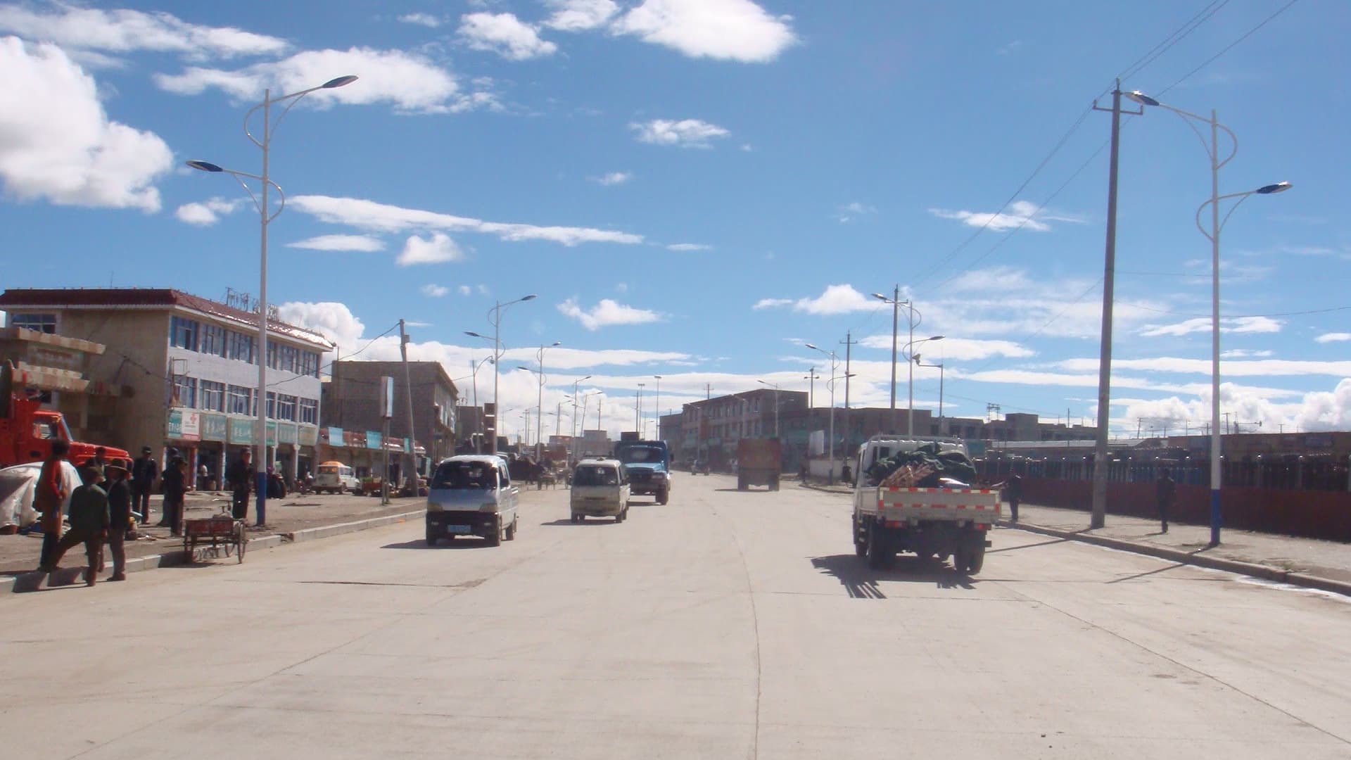
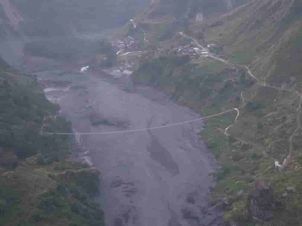
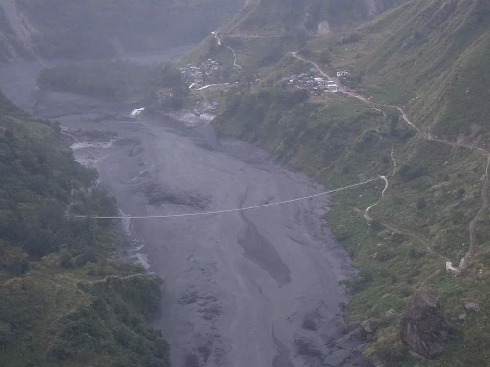
Northern Tibet, an autonomous region of China, was shaken by a magnitude 7.0 earthquake at 10:33 p.m. local time on Thursday, Oct. 22. According to the U.S. Geological Survey (USGS), the epicenter lay in a sparsely populated, high mountain area about 191 kilometers east-northeast of the city of Nagqu.
How strong was the shaking?
The China Earthquake Networks Center put the focal depth at about 10 kilometers, while the USGS estimated 18 kilometers. A magnitude 5.2 aftershock was recorded in the same area roughly 40 minutes later. The USGS estimates that about 111,000 people felt moderate to severe shaking; there is no information yet on casualties or serious destruction.
Why does Tibet shake so often?
The Tibetan Plateau is the highest in the world. It is shaped by the convergence of the Indian and Eurasian plates, and the stress that builds up in the crust is regularly released in strong earthquakes. According to the USGS, the latest quake was caused by normal faulting, in which crustal blocks pull apart as the plateau spreads east and west.
Strong quakes are not rare in the area: the magnitude 7.8 Kunlun earthquake struck the Tibet–Qinghai border in November 2001, and a magnitude 7.1 quake in Dingri county killed 126 people in January 2025.
Stay Updated with RuskiGazeta
Subscribe to be informed about special news, developments and announcements. We will keep you informed.
By signing up, you agree to our Privacy Policy